UAV and Land Survey for Construction As-Builts at Upstream Facilities
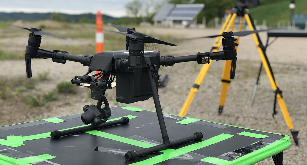
Utilizing state-of-the-art UAV equipment, innovative web-hosted geographical inspection and mapping data software, and field surveys, Verdanterra is providing construction as-built services for multiple oil & gas production companies. Collected data is paired with Verdanterra’s traditional ground-based survey data to provide a virtual, web-hosted deliverable for our confidential client. This client and others continue to benefit from Verdanterra’s progress updates, as-builts, and geographical data.
Large acreage projects can be mapped and paired with aerial inspection and land survey data in a matter of days, versus a traditional method which could take weeks. UAV operations provide cost savings to our clients by reducing field data collection and analysis time.
Verdanterra projects
- Ashland to Ironwood 115kV Upgrade Project
- Blue Racer Midstream Product Gathering Program
- Blue Racer Midstream Stringtown Pipeline
- Downeast LNG Export/Import Project
- Enbridge Energy Sandpiper Pipeline Project
- Environmental Compliance Program
- Equitrans Midstream Corporation Gathering Program
- Northern Natural Gas New Lisbon Loop
- Spectra Energy Nexus Pipeline Project
- UAV and Land Survey for Construction As-Builts at Upstream Facilities