Spectra Energy Nexus Pipeline Project
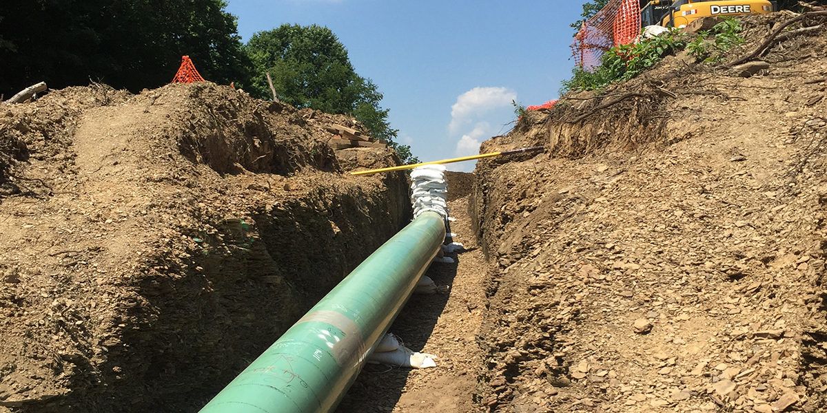
The Nexus project originates in northeastern Ohio, includes approximately 250 miles of large diameter pipe, and is designed to deliver 1.5 million dekatherms of natural gas per day (1.5 billion cubic feet per day). Verdanterra provided wetland and waterbody surveys to the prime consultant in support of Spectra Energy’s natural gas pipeline development project. Daily data collection and reporting was completed using tablets and included USACE wetland data forms, Ohio Rapid Assessment Method (ORAM), stream corridor assessments (HHEI/QHEI), and representative photographs of all resources. Wetlands and waterbody boundaries were flagged in the field, as well as recorded using sub-meter handheld GPS units within the proposed pipeline right-of-way survey corridor. Land use types, special features, and feature boundaries were recorded via tablet using Collector for ArcGIS, which provided instant progress updates to the client and field crews along the survey corridor. This work was completed over the course of two field seasons as the route was developed.
Services Provided:
- Wetland and waterway delineation
- GIS mapping
- Remote sensing
Verdanterra projects
- Ashland to Ironwood 115kV Upgrade Project
- Blue Racer Midstream Product Gathering Program
- Blue Racer Midstream Stringtown Pipeline
- Downeast LNG Export/Import Project
- Enbridge Energy Sandpiper Pipeline Project
- Environmental Compliance Program
- Equitrans Midstream Corporation Gathering Program
- Northern Natural Gas New Lisbon Loop
- Spectra Energy Nexus Pipeline Project
- UAV and Land Survey for Construction As-Builts at Upstream Facilities